CONSTRUCTION
Construction mapping and progress monitoring
From bid planning to handover, drone data shows owners, investors and site teams exactly where a project stands, without anyone climbing a stockpile.
How we can help
The right view for the job.
Pre-construction site survey
Capture the initial state of the site before breaking ground, with high-accuracy maps for planning and bids.
Progress reporting
Flights at set intervals with high-resolution video and maps, so every stakeholder sees progress without a site visit.
Stockpile and volume measurement
Measure inventory and earthworks from the air, faster and safer than crews on foot.
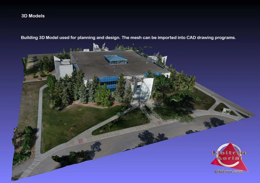
3D models and measurement
Georeferenced models to confirm height, length and volume, and to compare work done against the plan.
Digital surface models
Elevation and contour data for drainage, grading and landscaping decisions.
A straightforward process
From a question to a useful answer.
We start with what you need to know, then plan the flight and deliver the data to match.
Plan
Scope the job
We talk through the site, the decision you need to make and the data that answers it.
Capture
Capture
Advanced certified pilots fly to Canadian Aviation Regulations, with the right sensor for the job.
Process
Build the outputs
Imagery becomes orthomosaics, models, thermal reports or NDVI maps.
Deliver
Share it
Results land in the cloud so every contractor, adjuster or agronomist can open them.
Let's scope your project
Tell us the site.
We'll help with the next step.
Not sure which service you need? Start with the question you want answered. We will help you identify the right capture and deliverables.