INFRASTRUCTURE AND UTILITIES
Tower, line, solar and wind inspections
High-value assets have to stay running. Drone inspections cover every side of a structure in a fraction of the time, from a safe distance, and can be flown again for a like-for-like record.
How we can help
The right view for the job.
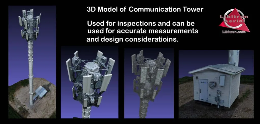
Cell tower inspections
Close visual coverage and 3D models of the full tower, without a climb.
Power line inspections
Visual and thermal capture along the line, including remote and rough terrain.
Solar site inspections
Thermal and visual imagery to find damaged or failing panels across the array.
Wind turbine inspections
Blade and tower imagery with low downtime per turbine.
A straightforward process
From a question to a useful answer.
We start with what you need to know, then plan the flight and deliver the data to match.
Plan
Scope the job
We talk through the site, the decision you need to make and the data that answers it.
Capture
Capture
Advanced certified pilots fly to Canadian Aviation Regulations, with the right sensor for the job.
Process
Build the outputs
Imagery becomes orthomosaics, models, thermal reports or NDVI maps.
Deliver
Share it
Results land in the cloud so every contractor, adjuster or agronomist can open them.
Let's scope your project
Tell us the site.
We'll help with the next step.
Not sure which service you need? Start with the question you want answered. We will help you identify the right capture and deliverables.